Re-focusing national policy and local management to protect soils: our most neglected ecosystem
- The annual cost of soil degradation in England and Wales has been estimated at more than £1.2 billion
- Novel approaches have been created by Cranfield to quantify the economic value of soil resources based on the detailed analysis of different soils around the UK
- Field data showed how field soil losses could be reduced by 53%
Soils are essential to the production of 94% of food globally — and yet soil resources and soil health are constantly being degraded and destroyed.
UN figures suggest six million hectares of new farmland will be needed every year to keep up with global food demand. In practice, 12 million hectares are being lost instead. Soils also store vast amounts of carbon, protect communities from flooding and drought, and are the origin of many industry supply chains, for fibre, fodder and biofuels.
The precarious state of soil resources internationally has come about through a basic neglect and lack of appreciation of how soils — just as much as water — are an essential element for human life.
Cranfield’s work on large-scale soil and environmental data has provided all-important fundamental insights into the current status and trends in soil resources. In turn this has informed policy debates on the protection of national soil resources — leading to a UK parliamentary inquiry into soil health, and ensuring that a soil protection strategy has been central to Defra’s 25 Year Environment Plan, Agriculture Act 2020 and the Environment Act 2021.

UN figures suggest six million hectares of new farmland will be needed every year to keep up with global food demand. In practice, 12 million hectares are being lost instead.
Costing soil degradation
Cranfield researchers have been championing the importance of soils for more than 40 years. This has included leading the first National Soil Inventory for England and Wales — providing the first scientific evidence at a nationwide level of soil system changes, including the loss of carbon from soils over time (Figure 1). Digital soil mapping techniques have been used to update large-scale soil and land quality data.
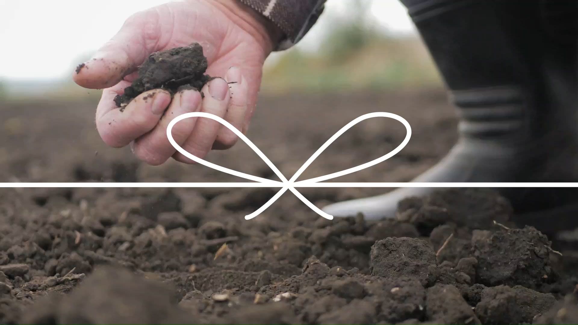
Methods have been created to quantify the economic value of soil resources based on the detailed analysis of different soils around the UK. This needs better understanding of the processes of soil physics, chemistry and biology; alongside geo-spatial statistics, life-cycle analysis, and how land use and management change over space and time (Figure 2).
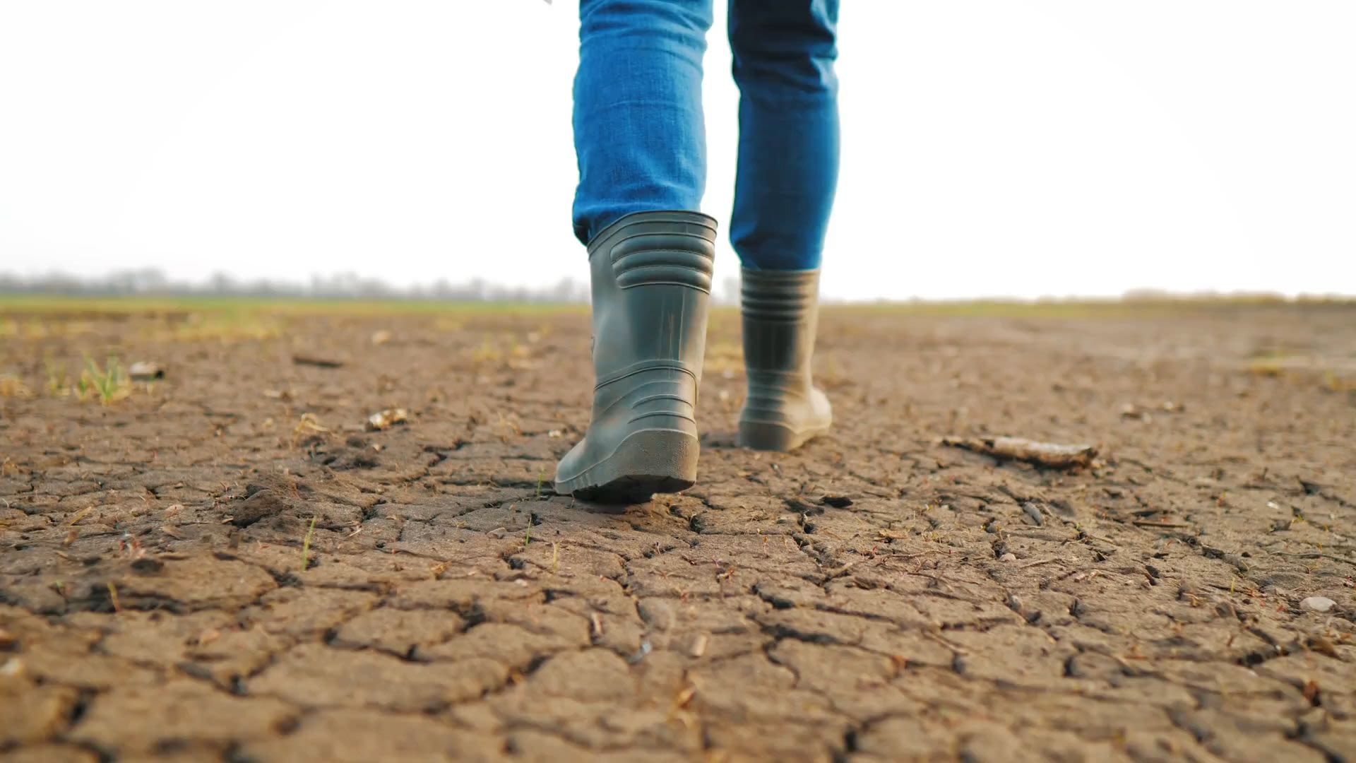
By understanding the range of goods and services delivered by soil to society, it has been possible to establish a more realistic figure for the annual cost of soil degradation in England and Wales alone: more than £1.2 billion (at 2010 prices). This work has been used to quantify what makes for ‘acceptable’ rates of soil erosion versus soil formation — highlighting UK locations where soil loss has exceeded tolerable levels (Figure 3) — and led to the creation of priority areas for soil protection.
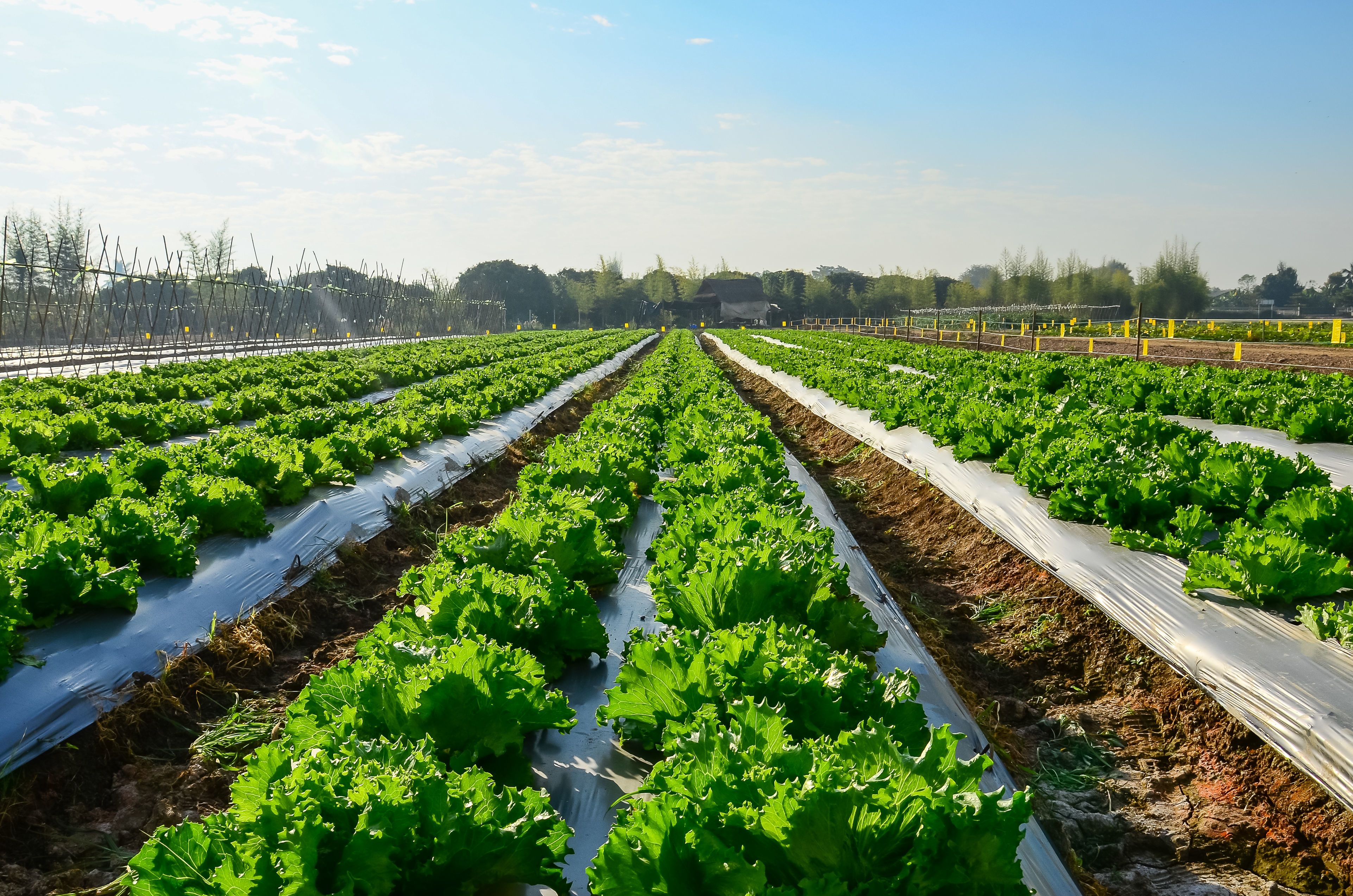
Analysis of field data has provided recommendations to farmers on the most effective erosion control measures, showing how field soil losses could be reduced by 53% (Figure 4).

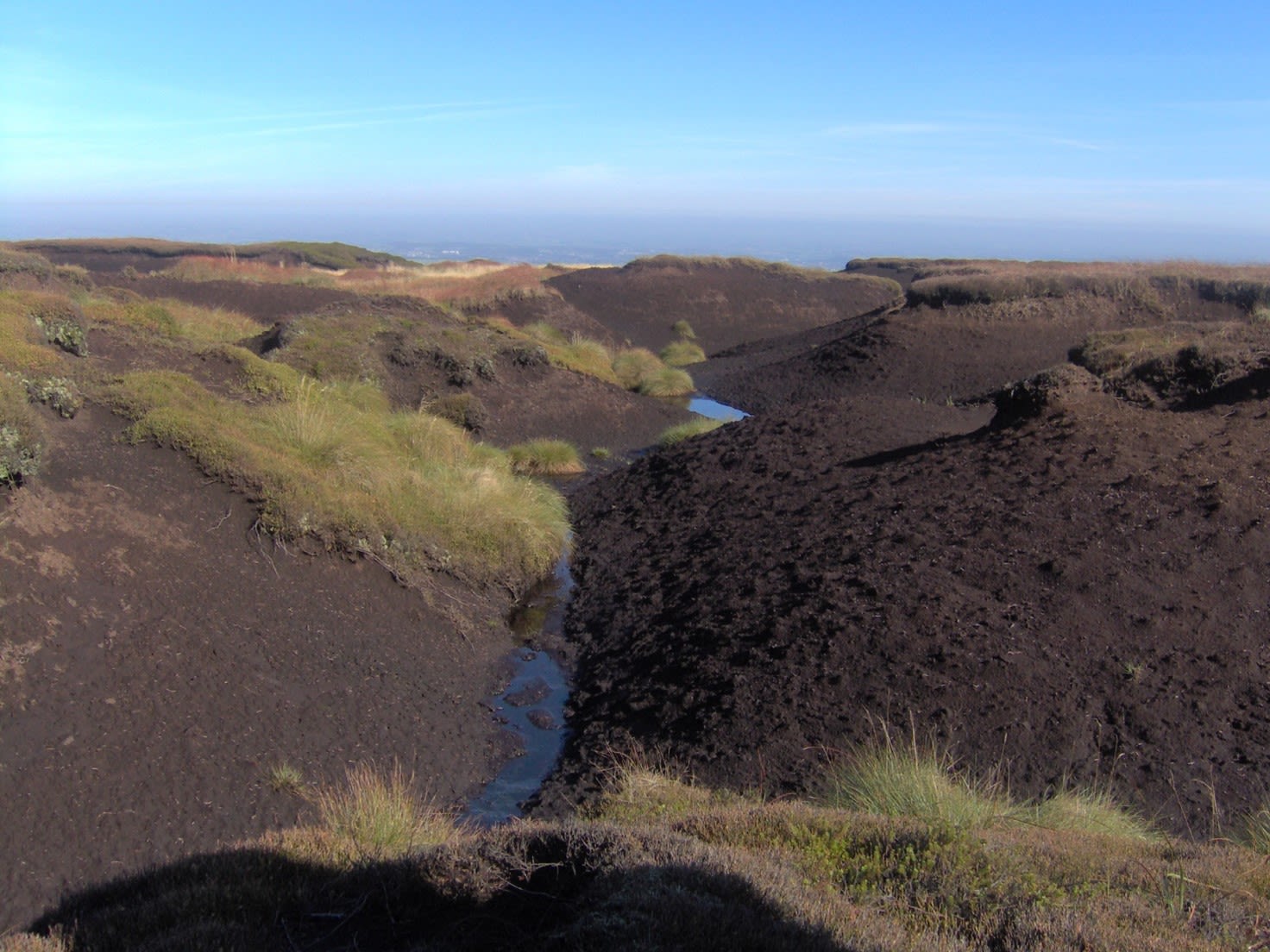
Figure 1. Loss of soil carbon (Peak District, Derbyshire)
Figure 1. Loss of soil carbon (Peak District, Derbyshire)

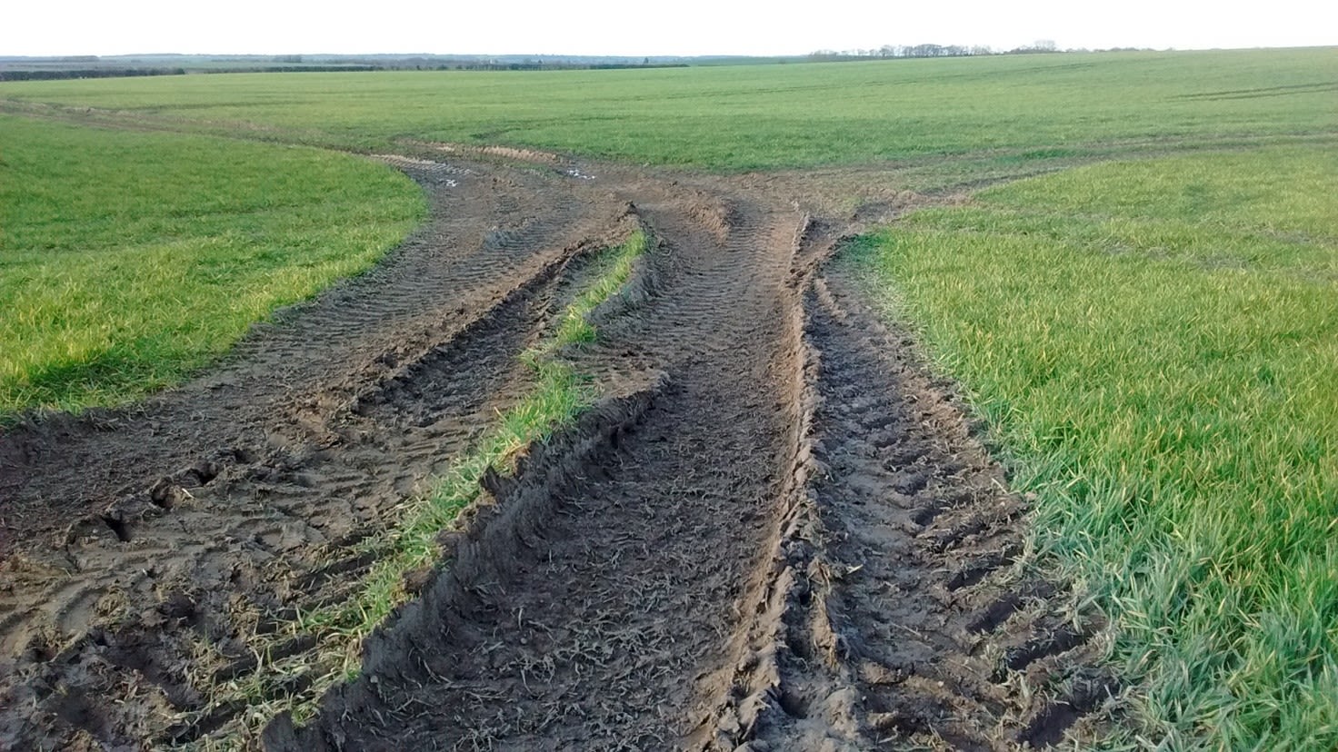
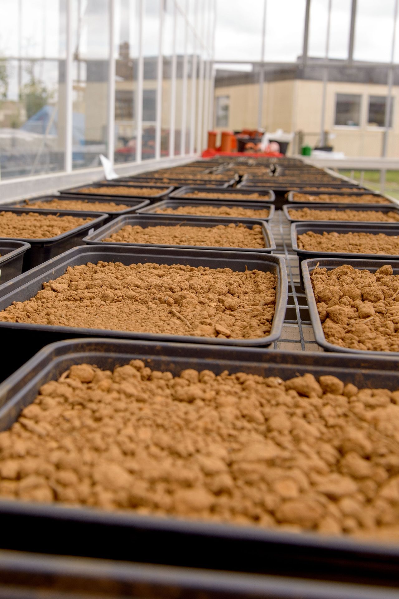
Figure 2. Soil damage in farmers fields
Figure 2. Soil damage in farmers fields
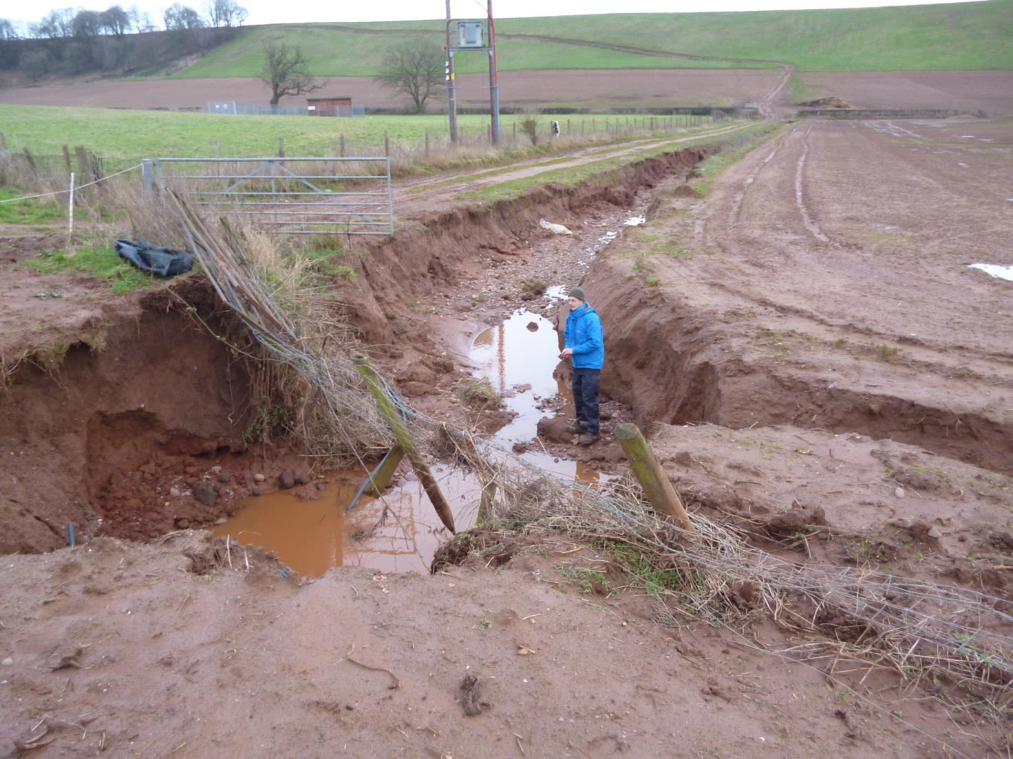
Figure 3. Soil loss has exceeded tolerable levels
Figure 3. soil loss has exceeded tolerable levels

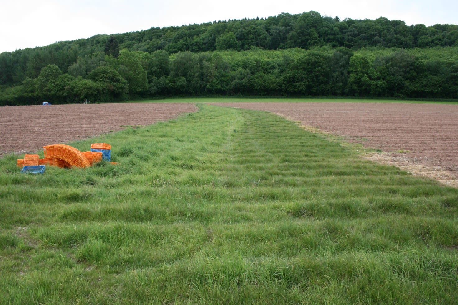
Figure 4. Soil erosion control measures: use of grass waterways
Figure 4. Soil erosion control measures: use of grass waterways
The annual cost of soil degradation in England and Wales has been estimated at more than £1.2 billion.

Soil protection
Cranfield’s expertise has led to:
- renewed public and policy debate: shaping the Soil Strategy for England in 2011; providing evidence for international negotiations regarding the EU Soil Framework Directive in 2014; influencing the National Audit Office’s briefing on environmental protection;
- stimulating awareness and discussion that culminated in the Environmental Audit Committee’s Soil Health Inquiry in 2016 — and informed the 25 Year Environment Plan and the development of a ‘Healthy Soils’ indicator;
- involvement on the scientific panel of the Sustainable Soils Alliance;
- the creation of a publicly available agricultural land classification map for Wales. The spatial soil data and information systems involved have saved the Welsh Government an estimated £100 million as a replacement to field surveys, and 10 to 20 years of resources;
- field-scale advisory tools for use by farmers, based on the national soil data, which provide insights into predicted soil erosion rates, identify risks and make recommendations for land use and management.
- a Queen’s Anniversary Prize in 2017, recognising the impact of Cranfield’s research on the sustainable use of natural resources in the UK and worldwide.

Cranfield’s spatial soil data and information systems have saved the Welsh Government an estimated £100 million.

Environment and Agrifood
For more than 50 years, we have contributed to enhancing natural capital and ensuring that global food systems are more resilient for the future.

Cookies & Privacy
We use cookies when you visit this website to analyse the web traffic, to optimise the performance and content of the website and to promote trust and security. Cookies are small text files that are stored by your Internet browser on your computer. These cookies do not include any personal information, they are only used for the duration of your web session to improve your experience. Please visit our Privacy policy (link below) for data processing details.