Saving lives with remote opium crop monitoring
- Cranfield’s research into remote sensing technologies, using satellite images to monitor land, has improved the information used to tackle illicit opium poppy production in Afghanistan
- The approach identifies the location and scale of opium crops more accurately, reducing the need for on-the-ground surveys
- The results have been used in international drug policy decision making

Cranfield’s refined remote sensing approach has improved the monitoring programme that supports counter narcotics campaigns in Afghanistan — the source of almost all the heroin trafficked into the UK.
The United Nations Office on Drugs and Crime (UNODC) has been able to more accurately estimate the location and scale of opium crop production; save lives by reducing the need for on-the-ground field surveys, and expose cases of misreporting.
Cranfield’s technologies have been used in international drug policy decision-making and address security threats from the flow of drug funds to terrorist groups.


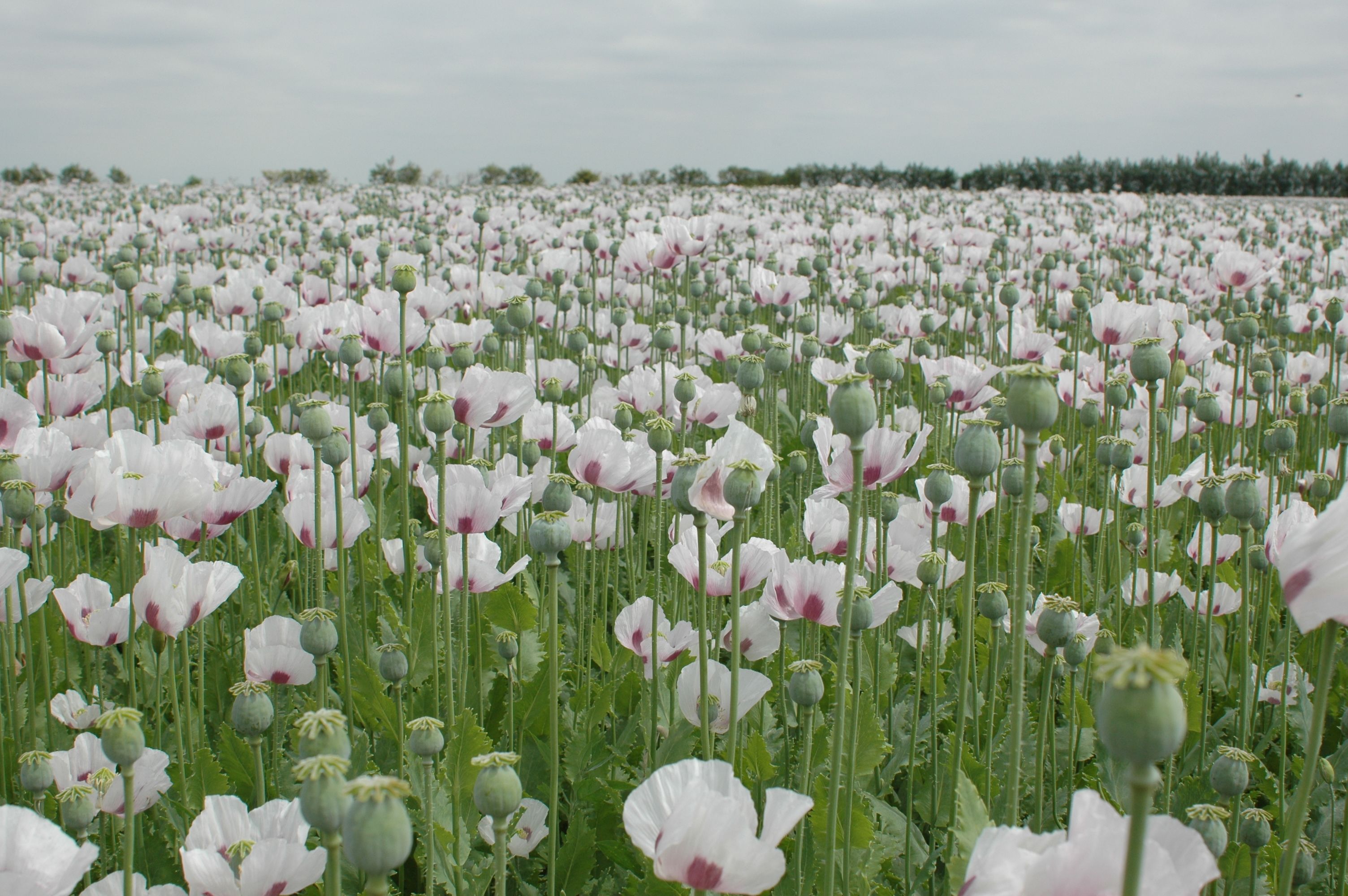
Opium poppy production in Afghanistan is the source of almost all the heroin trafficked into the UK.


Tracking the scale and progress of poppy production
Remote sensing — the use of satellite imagery to monitor land cover from a distance — had been used by the UNODC and the US Government, but work by Cranfield highlighted why there were discrepancies. With varying estimates of opium poppy cultivation across Afghanistan, taking resolute action was being made more difficult.
Researchers used medium-resolution imagery, integrated with very-high-resolution satellite imagery in focused sample areas, to provide a much clearer picture: improving poppy cultivation estimates, and delivering results months earlier in the growing season than was previously possible.
New approaches were also developed to use satellite imagery to check on the timing of opium flowering, opium crop yields and eradication without the need for dangerous, on-the-ground data collection.
In this way, reliable data was provided from across the whole of Afghanistan and over the course of a growing season. The information highlighted changing agricultural practices in real-time: crop rotations, use of new land and changes in forms of crop management, as well as water availability and outbreaks of disease. In turn, this allowed opium eradication bodies to identify areas of highest production to target counter-narcotics operations; understand best times of the year for crop eradication; and, for the first time, get access to data on remote and inaccessible regions.


Opium eradication bodies were able to identify areas of highest production to target counter-narcotics operations; and, for the first time, get access to data on remote and inaccessible regions.


Undermining the illicit global drug trade
Cranfield’s research equipped UNODC and the Afghanistan government with a critical tool for taking on illegal drug production in a country which has been the source of more than 95% of the world’s opium.
The annual opium survey based on refined remote sensing has been the basis of National Drug Control Strategy, the physical destruction of opium crops in the fields, backed up with compensation schemes for provincial governors based on the area of crop eradicated.
As a result:
• deaths and serious injuries to UNODC, MCN (Afghanistan Ministry of Counter-Narcotics) and Afghanistan National Police staff were reduced, even during times of deteriorating security;
• stakeholders involved in counter-narcotics internationally have the reliable data needed to create national policy and make timely decisions on activities such as alternative livelihoods, anti-planting campaigns, education, and incentive payments to ‘zero cultivation’ provinces — as well as evidence on the impact of policy. Cranfield’s data helped the UN confirm the success of a ‘food zone’ in the Helmand province of Afghanistan (where poppy cultivation had dropped by 37%);
• image analysis identified over-reporting of poppy eradication by the US-led Poppy Eradication Force (PEF). Ultimately, this was instrumental to the closure of the PEF (an organisation funded by US taxpayers) and led to the refocusing of policy towards rural development;
• knowledge and expertise have been passed on to local operations, the UNODC and Government of Afghanistan staff, for the annual opium survey, to carry out key remote sensing tasks and interpret data;
• recent events in Afghanistan (since August 2021), have resulted in a major economic contraction, increasing poverty and further deterioration of security, making households more vulnerable to engaging in illicit crop production. The remote sensing approaches allow the UNODC to continue with crucial work in providing science-based evidence for the international community.

Deaths among UNODC, Afghanistan Ministry of Counter-Narcotics and National Police staff were reduced, even during times of deteriorating security.

Environment and Agrifood
For more than 50 years, we have contributed to enhancing natural capital and ensuring that global food systems are more resilient for the future.


Cookies & Privacy
We use cookies when you visit this website to analyse the web traffic, to optimise the performance and content of the website and to promote trust and security. Cookies are small text files that are stored by your Internet browser on your computer. These cookies do not include any personal information, they are only used for the duration of your web session to improve your experience. Please visit our Privacy policy (link below) for data processing details.